
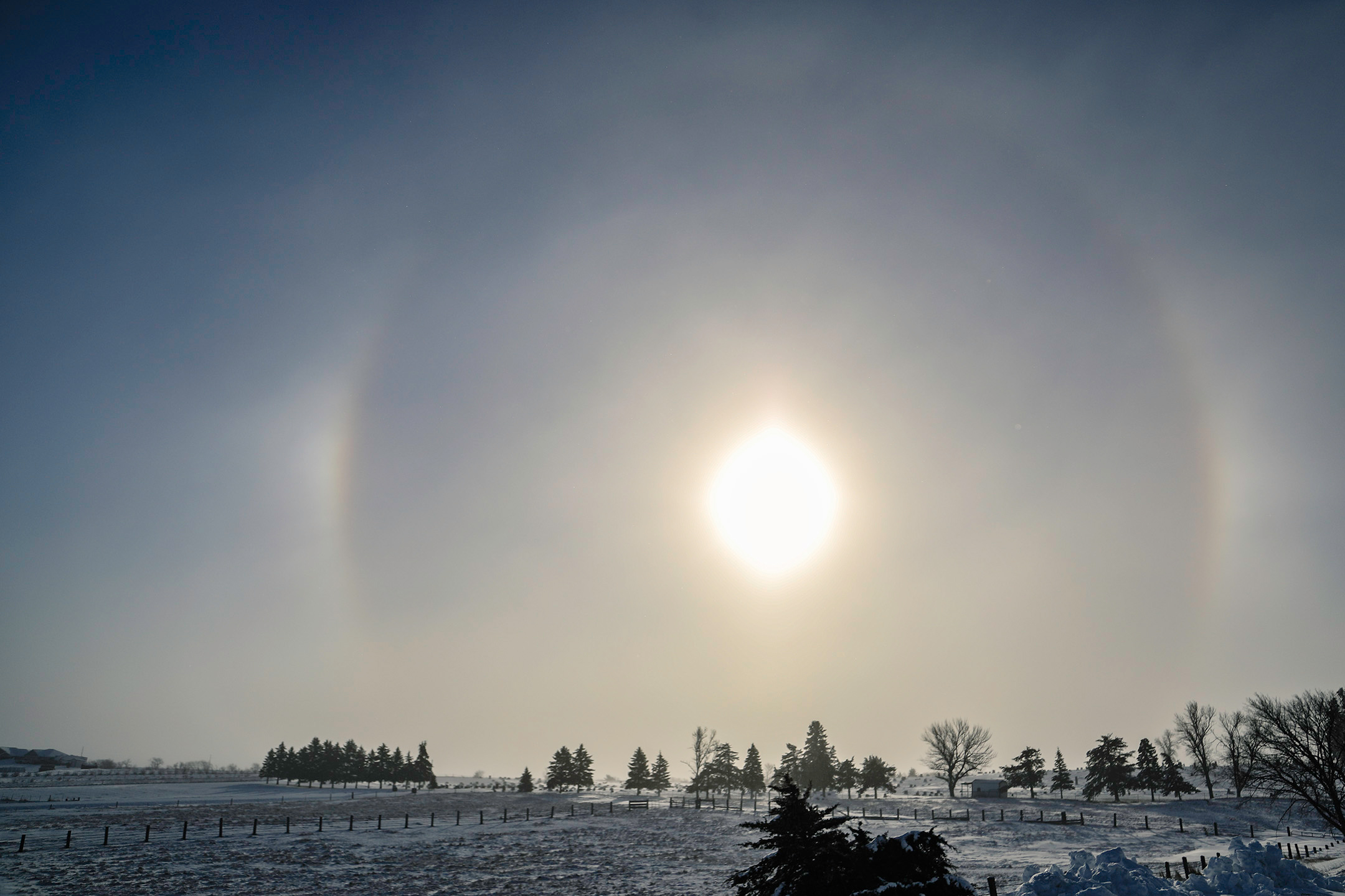
Bitter cold, blizzard conditions wreak havoc across area counties, much of state
A wind chill warning and winter weather advisory was in effect starting last Wednesday for many portions of the state, calling for wind chills as low as 50 below zero with blowing snow — and boy did Mother Nature answer that call.
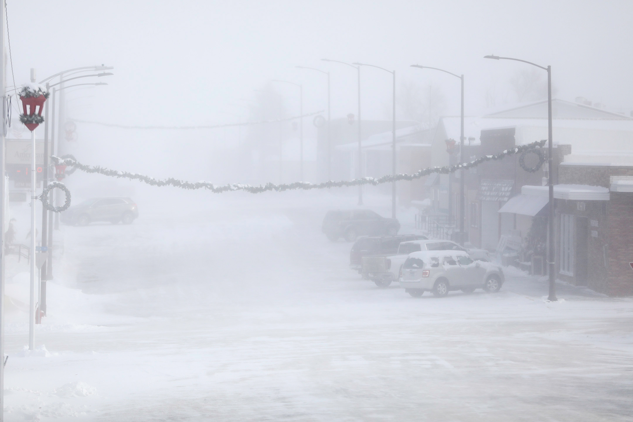
On Thursday, December 22, the South Dakota Department of Public Safety issued a “no travel advisory” across the state as freezing temperatures and sustained high winds created blizzard conditions and poor visibility for driving conditions.
The cold blast created wind chill values as bitter as -40 to -50 degrees, coming close to the alltime records for December 22, 23, and 24 recorded in Sioux Falls (-57), Sioux City (-53), and Huron (-53) all in 1983.
The Jerauld County Sheriff’s Office began receiving a barrage of phone calls from stranded motorists that did not heed the warning issued by state officials.
“We were receiving calls from motorists that thought they could get through. They didn’t,” Jerauld County Sheriff Jason Weber said. “I understand that it is the holiday season and people wanted to travel to Christmas gatherings. But folks have got to realize that when they go out in that type of weather and get stuck, they’re putting everyone, including first responders, at risk.”
If motorists were able to make it to the airport Thursday, their holiday travel plans were quickly dashed as the Sioux Falls Regional Airport closed at 1 p.m. Thursday, not reopening again until Friday afternoon with most flights delayed or canceled all together.
The storm continued through the night Thursday and as of 11:30 a.m. on Friday, December 23, the sheriff’s office was dealing with dozens of vehicles throughout the county trapped in snow drifts or ditches, leaving some stranded with their vehicle for many hours.
“Even though some roadways appear to be fine, a motorist can suddenly come upon a heavily drifted area and the road becomes impassable,” Weber explained.
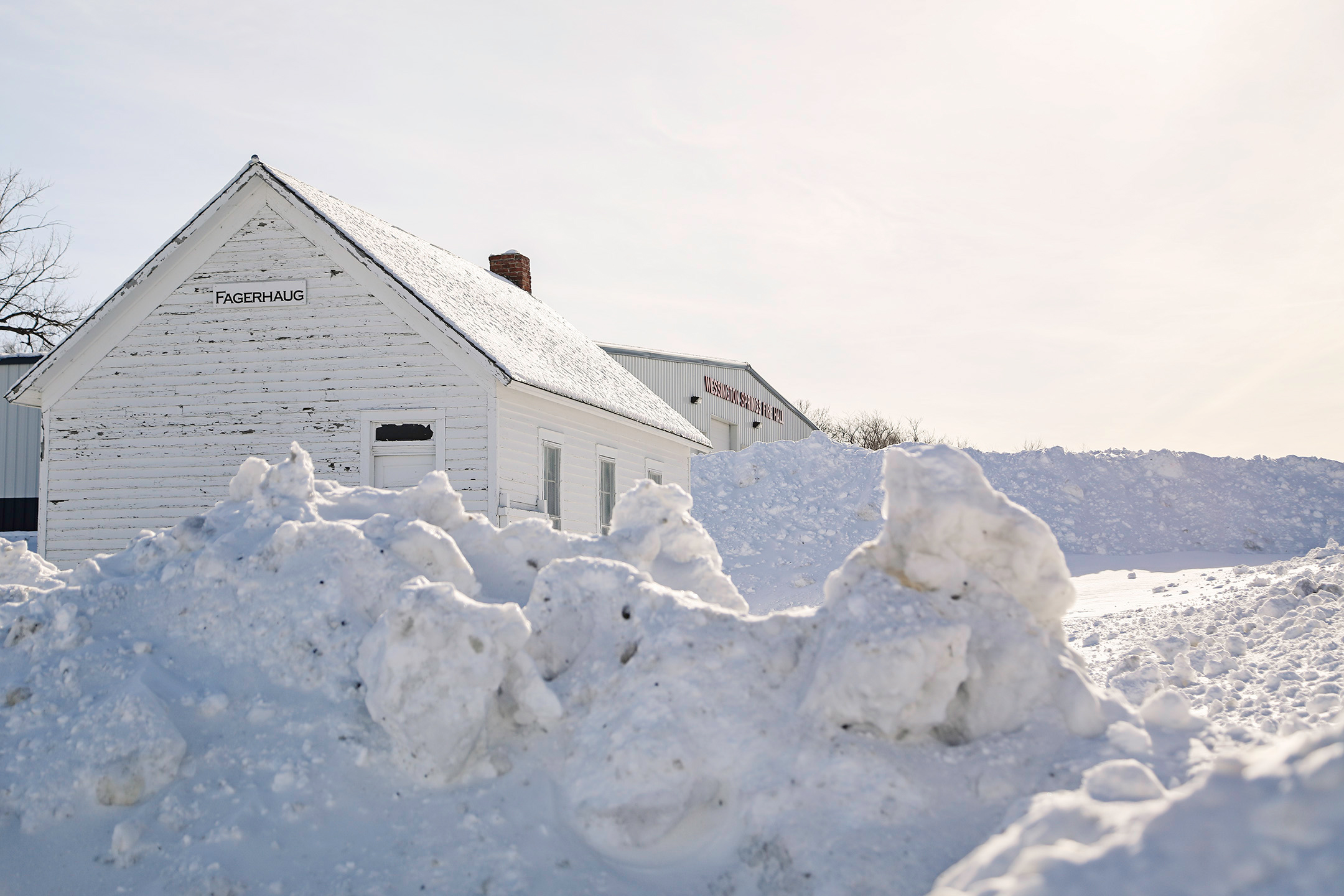
On Saturday, Christmas Eve, a “no travel advisory” was still in place for much of the state. Although plows were running, operators needed time to work on the massive drifts and open up highways, roads and bridges.
“Many roads in the county still have places that are impassible and bridges that are blown completely shut,” Weber said.
On Christmas Day, sunshine was a welcome sight but a strong cold front would surge south during the late afternoon and evening, bringing with it an intense band of snowfall accompanied by a surge of strong wind gusts of 35 to 45 mph.
No travel was advised once again for Christmas night due to zero visibility in many places and drifts sticking to roads and bridges blowing shut.
After a cold start to this week, above normal temperatures in the 30s are in the forecast for the remainder of the week — at press deadline Tuesday afternoon, the American Bank & Trust sign on Main Street in Wessington Springs displayed a balmy 35 degrees.
Although the warmer temperatures are welcomed, the National Weather Service urges caution when traveling — overnight refreeze of melted snow creates frosty, ice-slicked roads as the warm air moves over very cold pavement. Additionally, precipitation chances return to the forecast Thursday – possibly in the form of a wintry mix and yes, more snow.