

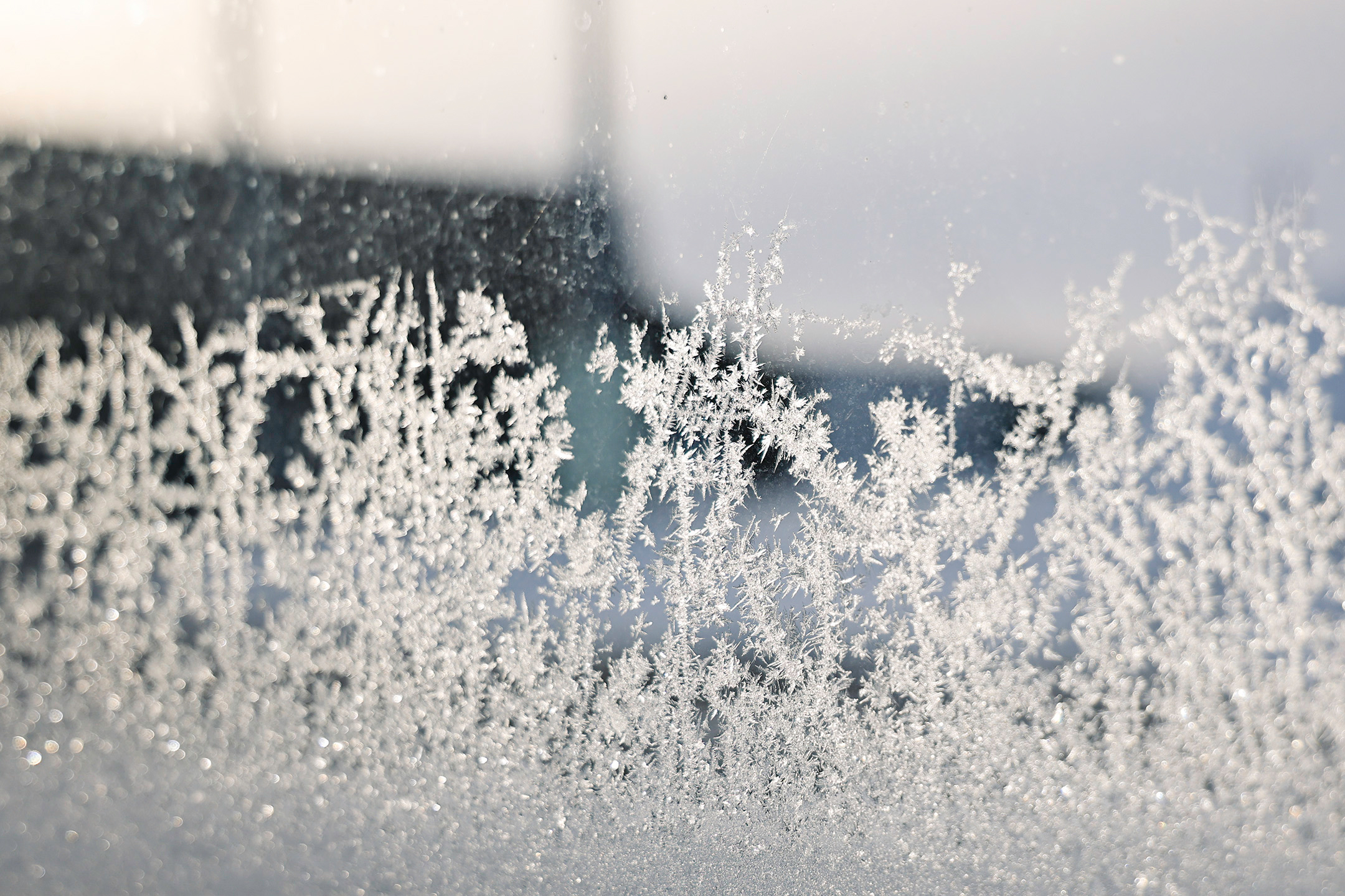
A high-pressure weather system is pushing a mass of Arctic air down from Canada into the central U.S. beginning on Tuesday, the National Weather Service said, which is expected to cause temperatures to plummet in many states.
The Jerauld County area was under an Extreme Cold Warning issued by the Sioux Falls office of the National Weather Service through Tuesday at 12 p.m. A second Extreme Cold Warning is in effect from midnight Tuesday through 10 a.m. Wednesday.
For the first Extreme Cold Warning, dangerously cold wind chills as low as 45 below zero were expected. For the second Extreme Cold Warning, dangerously cold wind chills as low as 40 below zero are expected. During the Tuesday morning work commute, temperatures were -20 with a “feel like” temperature of -32.
Delays and Postponements
The Wessington Springs School District called a late start of 10 a.m. Tuesday and Wednesday due to the extreme cold that could cause frostbite on exposed skin in as little as 10 minutes.
The Wessington Springs FFA community “Breakfast in the Shop” has been postponed to Wednesday, February 26, 7:15 a.m. - 8:15 a.m.
With next Tuesday’s weather forecast showing a high temperature of 53 across the Jerauld County region, area folks are in store for a near 70 degree warm up within the week.